http://www.statssa.gov.za/timeseriesdata/timeseriesdata.asp
Latitude, Longitude and Live Data - Video Tutorial:
Click Here to Watch the Tutorial
The tutorial is set in Johannesburg and uses train stations and stops within the CBD area as an example of geo point data from Google Earth. The Social media section looks for people that might be talking about there issues or current movements regarding Taxi's within a 5km radius of those stations and Bree St.
The tutorial runs through the process of locating geo co-ordinates in Google Earth, exporting all those points and then converting the resulting KML file into a CSV format. The tutorial then runs through a set of Social media plugins for Grasshopper that allow us to locate and track users in realtime in relation to the points we extracted from Google Earth.
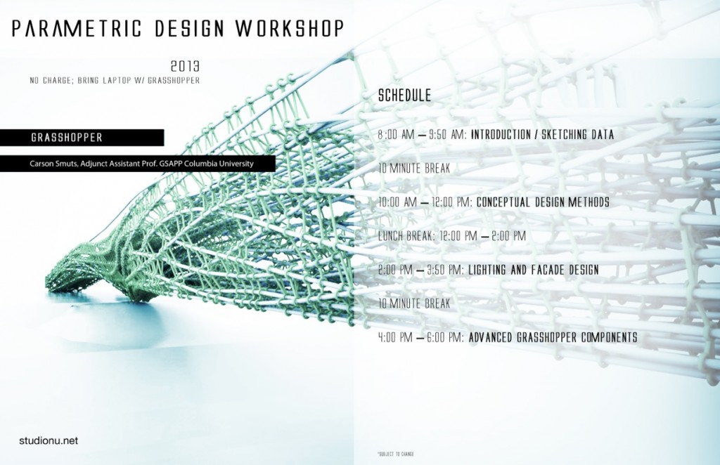
The tutorial is about 30min long, but it moves fairly quickly, it should take around 2 hours with some pausing, rewinding etc... All the workshops are merely introductions into the different components and commands. You are encouraged to discover the rest of software as you progress.
Download these before starting the tutorial:
Tutorial Example Files:LatLonLive-Video_Tutorial_Files.zip
Google Earth: http://www.google.com/earth/index.html
KML2CSV: http://choonchernlim.com/kmlcsv/
Mosquito: http://www.studionu.net/ceed3/?p=2443
The Joburg Sessions:
Download these before starting the tutorial:
Tutorial Example Files: Sessions 1234.zip
Google Earth: http://www.google.com/earth/index.html
KML2CSV: http://choonchernlim.com/kmlcsv/
Mosquito: http://www.studionu.net/ceed3/?p=2443
Session1:
• Core of parametrics and algorithmic computation.
• Lists/Arrays, Tables, Mathematics
• Parametrics and founding relationships on distance.
Session2:
• 4D Intersections (sections over time into a surface)
• Directions, paths, time of travel
• Visualizing Census Data.
Session3:
• Image Sampler
Session4:
• Trusses